The East and Mid Clare Walking Trails

These trails are some of the most scenic routes in Clare, passing through many quaint villages and bustling towns, and taking in stunning views and many historical sites along the way. The Ways give access to a countryside of great richness and variety; Clare provides a perfect base for your walking holiday in Ireland!

Scroll for information on both Walkways. Get in touch with us with any queries – we are based in Tulla, Co. Clare. You can  email us or  +353656835912 during office hours.
Be social! Follow us on Facebook or Twitter.

The East Clare Way

The East Clare Way is a 172km circular route that crosses the Slieve Bernagh Mountains before descending to the Clare lakeland areas around Tulla and Feakle. Circling Lough Graney, the route then climbs again over the rugged boglands of the Slieve Aughty Mountain back towards Lough Derg. The Way returns through the hills towards Scarriff and on to complete its circuit back at Killaloe. For the more casual walker, there are many well-signposted local loop walks of varying length centred on some of the towns and villages along the route.

Click on the links for details of The Ballycuggaran Looped Walk and The Cahermurphy Looped Walk. We have recently developed two new looped walks along the existing East Clare Way and these will be correctly signposted and marked in the coming weeks. These are the Ballyloughnane Loop in Ogonnelloe and the Cloondorney Lake Loop in Tulla.

Distance: approximately 172km in length.
Ascent: ascends some 3,000 metres (10,000 feet).
Estimated time: it can be comfortably walked in eight days with stage lengths ranging from twenty to thirty kilometres.
Grade: easy to moderate.
Terrain: steep climb approaching Kilbane.
Trailheads: located at: Killaloe, Broadford, O’Callaghan’s Mills, Tulla, Feakle, Flagmount, Whitegate, Mountshannon, and Scarriff.

For detailed maps of the East Clare Way, click here.

The Mid Clare Way

The Mid Clare Way, called Slí na Méaracán in Irish, or the Foxglove way, is a 150km long circular walking route around the centre of County Clare in the west of Ireland. The county capital, the busy and picturesque town of Ennis, is at its centre.

Beginning at Newmarket-on-Fergus, the Way climbs to the western slopes of the Slieve Aughty range, with wonderful views across to Mullaghmore and the Burren. Passing through nature reserves at Dromore Woods and historic Dysert O’Dea, the route then follows the River Fergus valley to its estuary at Ballykelly and on to Clarecastle and finally back to Newmarket-on-Fergus.

For a detailed map of the Mid Clare Way, click here.

The Mid Clare Way is best accessed at one of seven key trailheads, which provide information map boards and car parking. The trailheads are located reasonably close to other services and facilities, such as shops, accommodation, restaurants, and public transport. The trailheads are located at Newmarket-on-Fergus, QuinCrusheenRuan, Connolly and at Clarecastle.

There are also shorter loops for a more leisurely walking experience at Ballinruan/Gortnamearacaun and also in Dromore Wood. 

Distance: approximately 150km circular walking trail.
Grade: easy to moderate.
Minimum Gear: sturdy walking boots, waterproofs, rucksack, fluid, snacks, and mobile phone.
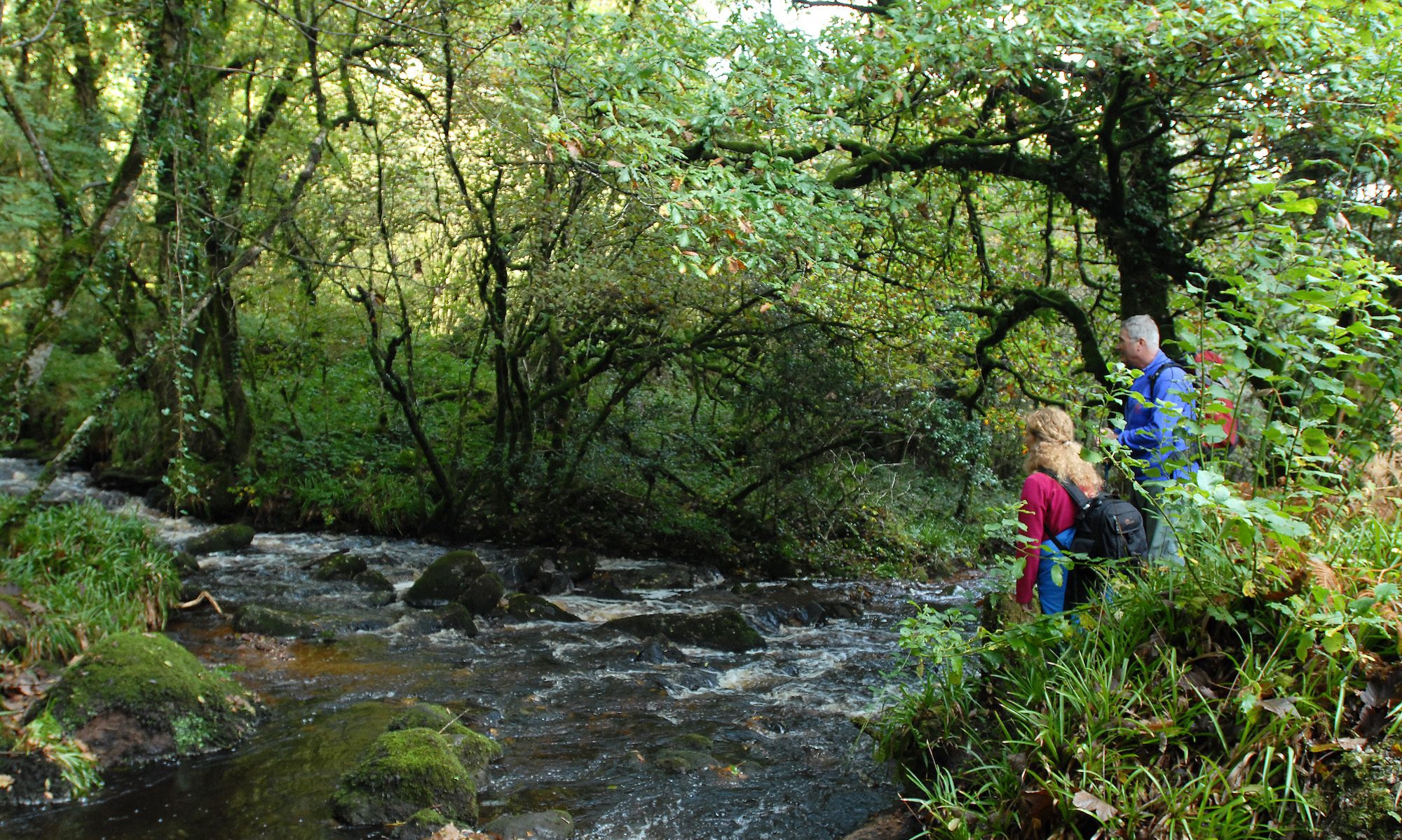
Terrain: the Way follows a mix of forest track and road, boreen and bog, pathway and minor road.