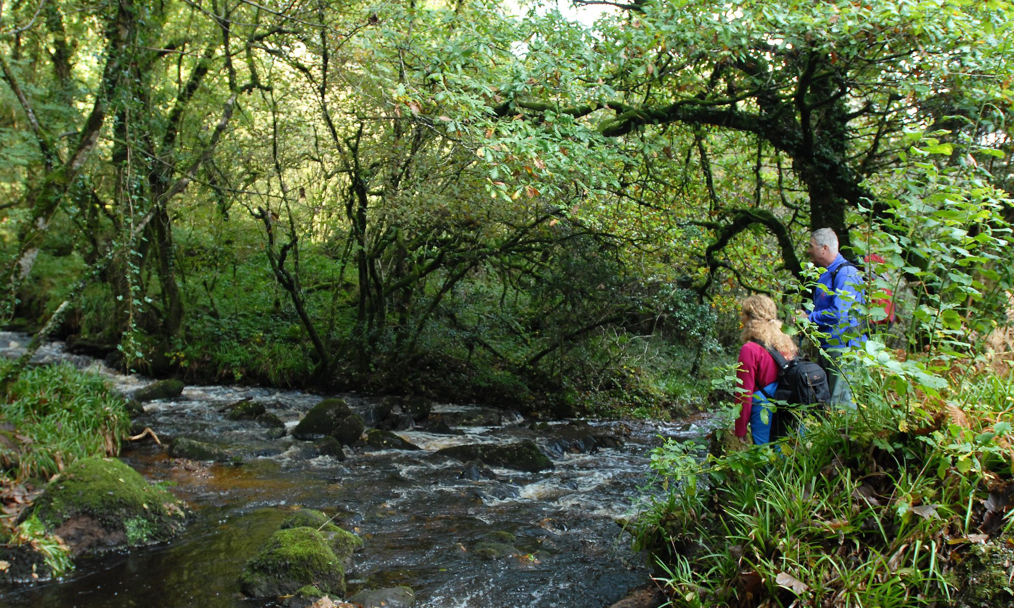

The East Clare Way is a 172km circular route that crosses the Slieve Bernagh Mountains before descending to the Clare lakeland areas around Tulla and Feakle. Circling Lough Graney, the route then climbs again over the rugged boglands of the Slieve Aughty Mountain back towards Lough Derg. The Way returns through the hills towards Scarriff and on to complete its circuit back at Killaloe. For the more casual walker, there are many well-signposted local loop walks of varying length centred on some of the towns and villages along the route.
Click on the links for details of The Ballycuggaran Looped Walk and The Cahermurphy Looped Walk. We have recently developed two new looped walks along the existing East Clare Way and these will be correctly signposted and marked in the coming weeks. These are the Ballyloughnane Loop in Ogonnelloe and the Cloondorney Lake Loop in Tulla.
Distance: approximately 172km in length.
Ascent: ascends some 3,000 metres (10,000 feet).
Estimated time: it can be comfortably walked in eight days with stage lengths ranging from twenty to thirty kilometres.
Grade: easy to moderate.
Terrain: steep climb approaching Kilbane.
Trailheads: located at: Killaloe, Broadford, O’Callaghan’s Mills, Tulla, Feakle, Flagmount, Whitegate, Mountshannon, and Scarriff.